Identify the forecast
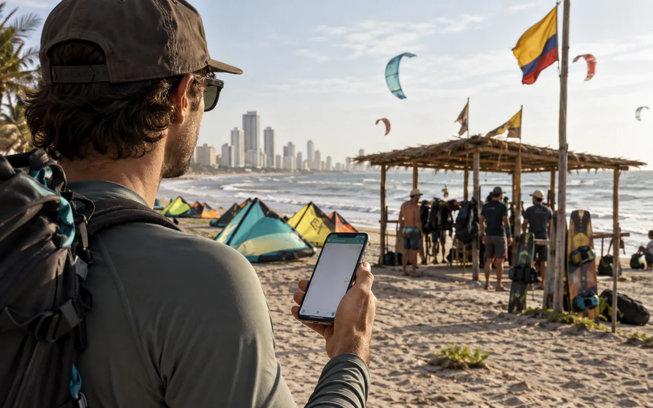
Check location, issue time, forecast period, time zone and units. Knots, kilometres per hour and metres per second are not interchangeable. Keep the source link rather than sending a cropped number. It lets the instructor interpret the same forecast you are looking at.
Read more than the average
Average wind summarises an interval; a gust is a peak. Their difference helps describe variation, but neither replaces a local observation. No single beginner wind threshold works for all equipment, riders and water conditions. Check whether arrows indicate where wind comes from or where it is heading, then relate them to that stretch of shore.
Compare the whole session window
Do not assume every afternoon improves or every morning is calm. Review direction changes, clouds and official warnings during the complete block. Trade winds describe a regional pattern rather than your exact beach. DIMAR information, model applications and the school’s observations serve different purposes; ask about discrepancies instead of choosing the preferred number.
When the session cannot run
Ask about the alternatives in your booking. Land exercises may be useful if educationally appropriate and agreed, but are not an automatic replacement for contracted water time. Establish the solution when your departure prevents another day. A forecast supports a decision; it is not permission to launch.
Official reference: DIMAR · SIPSEM · CIOH-DIMAR · Climatología de Cartagena