La Boquilla meeting point
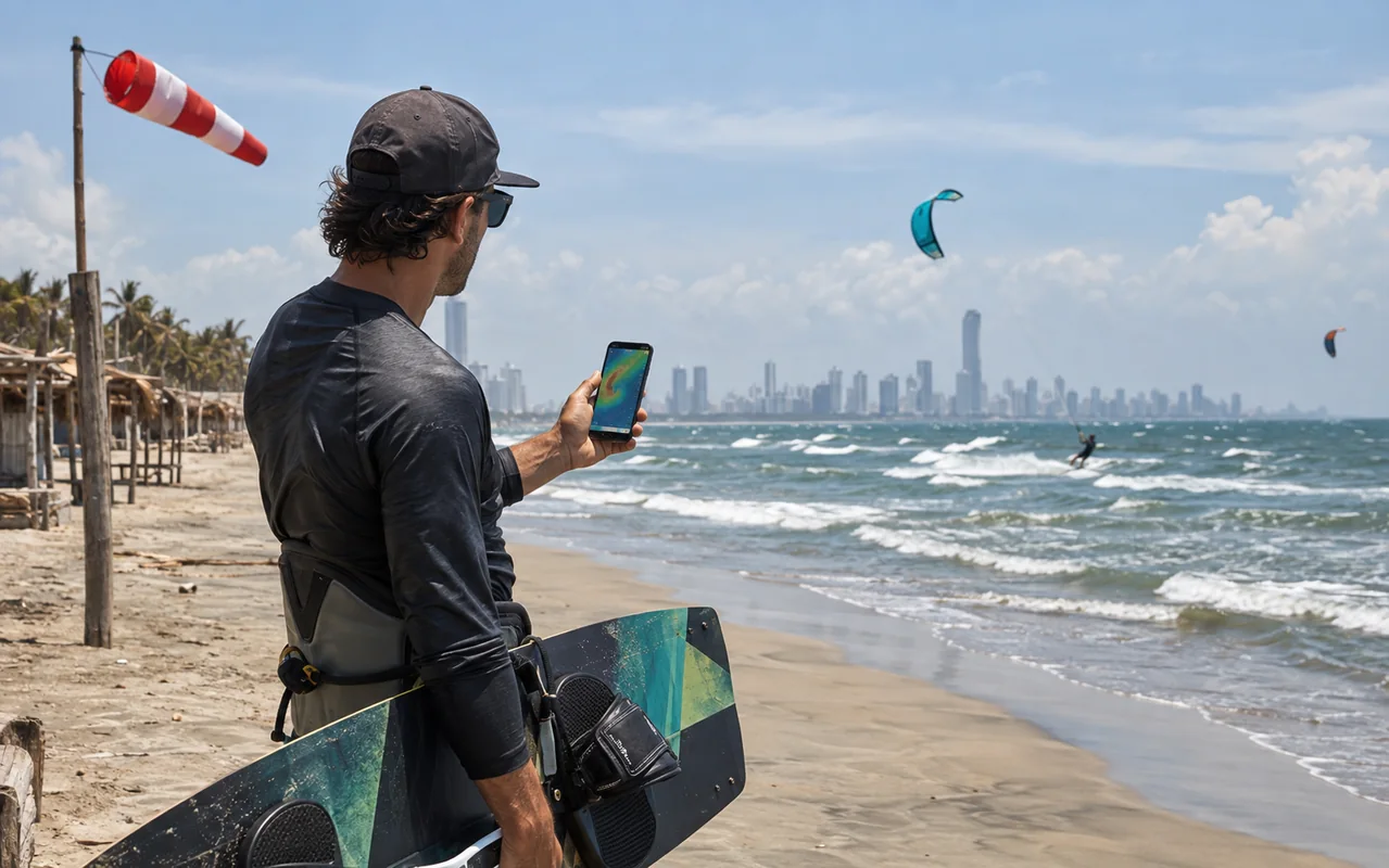
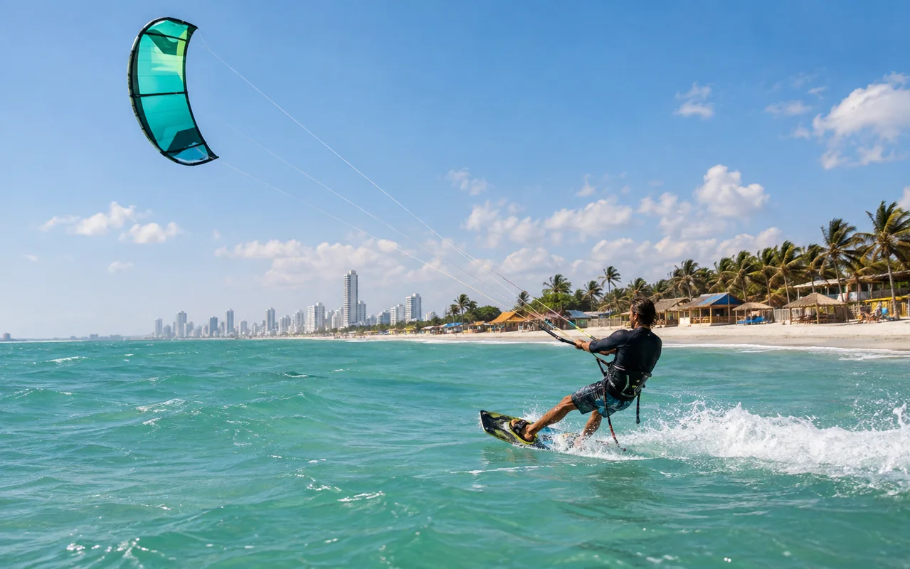
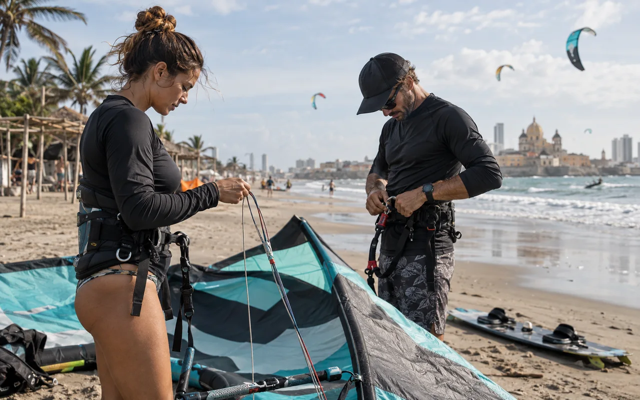
La Boquilla is the meeting reference for this site. Use the school map link and confirm the day’s exact location. A long beach can have different access points and activities. Identify the teaching sector, public paths and agreed finish point before setting up. A calm photograph does not establish suitable beginner conditions.
Manzanillo del Mar
This area north of Cartagena requires planned access and return transport. Confirm which service will operate there and what support travels with it. Do not assume a school’s equipment or facilities automatically follow you to another spot. Include the entire round trip when comparing it with a La Boquilla session.
Las Velas
Request a precise location and current local assessment. Understand how the practice area fits around other beach uses, including entry and exit corridors. A map marker can help you navigate, but it cannot confirm suitable wind, available space or assistance. Travelling with equipment solely because a spot appears on a map is insufficient preparation.
Salinas del Rey and the comparison
Salinas del Rey is in Atlántico, outside Cartagena: treat it as a separate excursion with transport, return and local coordination. For every spot, record meeting point, required level, service, support and weather alternative. We do not promise fixed road times or better conditions simply because the destination changes.